Viewing entries posted in September 2017
MGB & PAGASA Personnel Receive Training on LiDAR
- Posted by Nur Hussain S. Maba
- on 14 September 2017
- 0 Comments
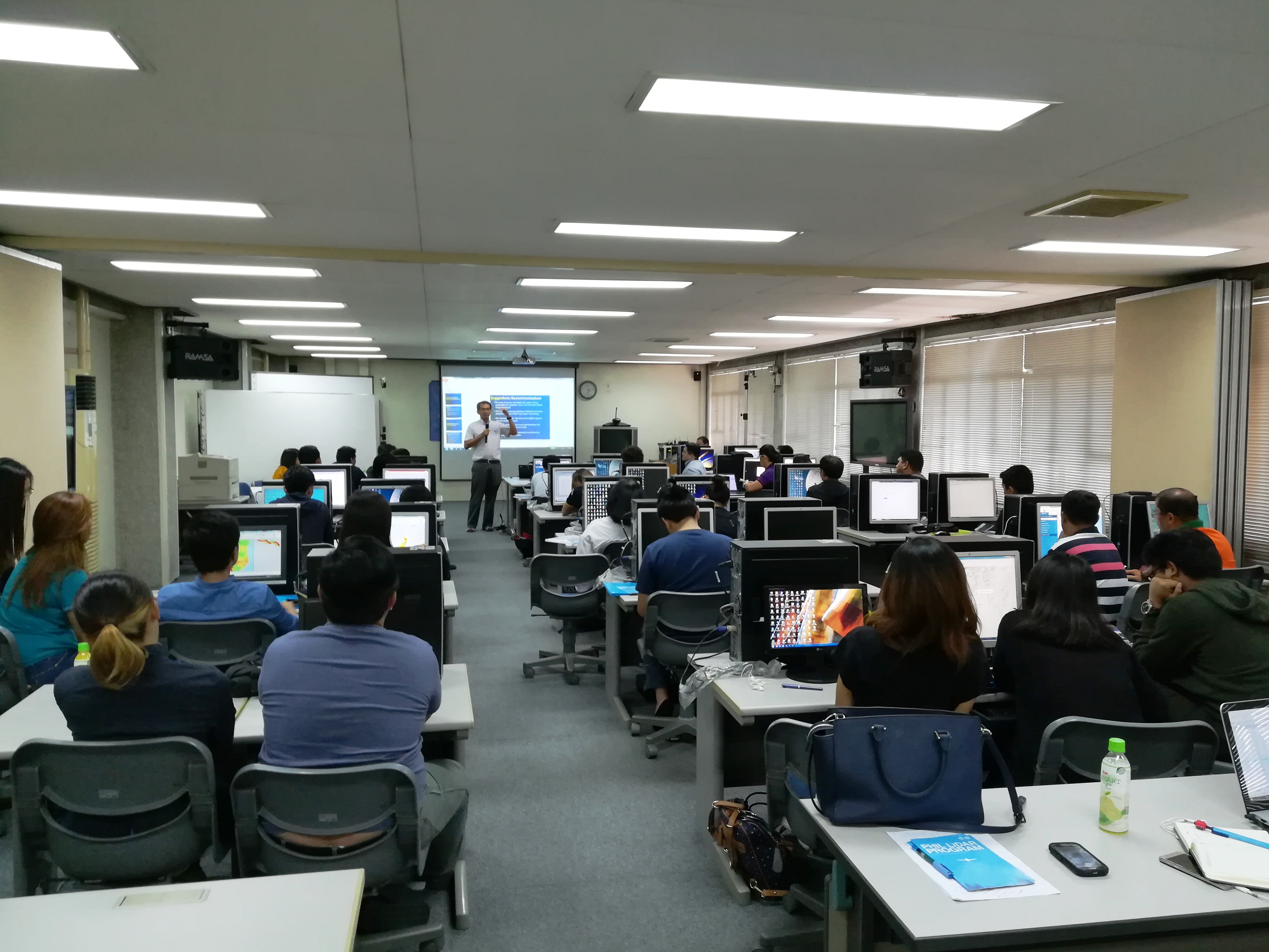
In line with the closing of the PHIL-LiDAR 1 Program this year, a training to the Philippine Atmospheric Geophysical Astronomical Services Administration (PAGASA) and Mines Geosciences Bureau (MGB) personnel as the receiving agencies was conducted on September 11-14, 2014 at the JICA room of the National Engineering Center of University of the Philippines Diliman. The training entitled “Flood Modeling and Mapping Training” was facilitated by the Flood Modeling Component of PHIL-LiDAR 1 headed by Chief Science Research Specialist Christopher Uichanco along with his team. Dr. Enrico C. Paringit, the Program Leader was also present throughout the four-day training in support to the event who also added valuable insights on the core mission of the program, use of the technology, and flood map harmonization forum, which took place on the last day of the training.
Read the full post
Like Us on Facebook
Facebook